J3731 : Primrose Lane, Newcastle
taken 15 years ago, near to Newcastle, Co Down, Northern Ireland
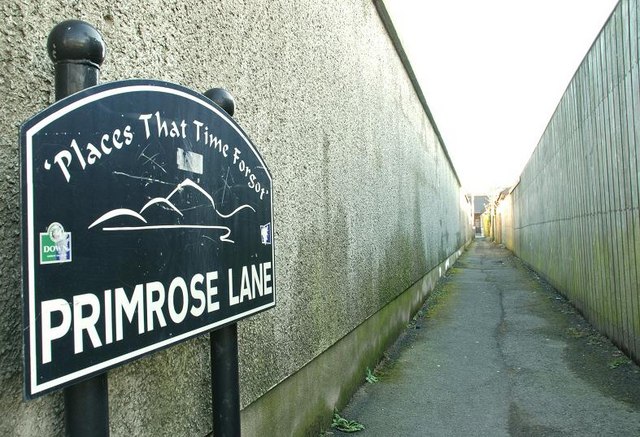
Primrose Lane, Newcastle
A lane running off the Shimna Road and recently one of the subjects of a scheme launched by the Chamber of Commerce as part of The Places that Time Forgot project.
![Creative Commons Licence [Some Rights Reserved]](https://s1.geograph.org.uk/img/somerights20.gif)
|
· Find out How to reuse this image ·
Share:
|
|||||
| Start a discussion on J3731 | Suggest an update to this image | Contact the contributor | |||
Loading map... (JavaScript required)
- Grid Square
- J3731, 1849 images (more nearby
 )
)
- Photographer
- Albert Bridge (find more nearby)
- Date Taken
- Saturday, 24 January, 2009 (more nearby)
- Submitted
- Saturday, 24 January, 2009
- Category
- Lane (more nearby)
- Subject Location
-
Irish:
 J 376 314 [100m precision]
WGS84: 54:12.8055N 5:53.4734W - Camera Location
-
Irish: J 375 314
- View Direction
- East-southeast (about 112 degrees)
Image classification(about):
Geograph
This page has been viewed about 36 times.
View this location:
KML (Google Earth) ·
Google Maps ·
Bing Maps ·
Geograph Coverage Map ·
More Links for this image
·
Bing Maps ·
Geograph Coverage Map ·
More Links for this image