J4682 : Footbridge, Crawfordsburn
taken 15 years ago, near to Crawfordsburn, Co Down, Northern Ireland
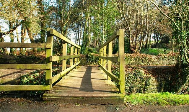
Footbridge, Crawfordsburn
This footbridge, across the Crawfordsburn J4682 : Path and river, Crawfordsburn in Crawfordsburn Country Park, leads to the shore of Belfast Lough and the North Down Coastal Path.
![Creative Commons Licence [Some Rights Reserved]](https://s1.geograph.org.uk/img/somerights20.gif)
|
· Find out How to reuse this image ·
Share:
|
|||||
| Start a discussion on J4682 | Suggest an update to this image | Contact the contributor | |||
Loading map... (JavaScript required)
- Grid Square
- J4682, 146 images (more nearby
 )
)
- Photographer
- Albert Bridge (find more nearby)
- Date Taken
- Thursday, 12 February, 2009 (more nearby)
- Submitted
- Thursday, 12 February, 2009
- Category
- Footbridge (more nearby)
- Subject Location
-
Irish:
 J 467 823 [100m precision]
WGS84: 54:40.0845N 5:43.6179W - Camera Location
-
Irish: J 466 823
- View Direction
- EAST (about 90 degrees)
Image classification(about):
Geograph
This page has been viewed about 33 times.
View this location:
KML (Google Earth) ·
Google Maps ·
Bing Maps ·
Geograph Coverage Map ·
More Links for this image
·
Bing Maps ·
Geograph Coverage Map ·
More Links for this image