J2073 : Tracery
taken 18 years ago, near to Dundrod, Co Antrim, Northern Ireland
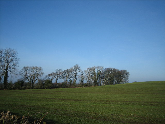
Tracery
I liked the shape of these trees against the skyline.
![Creative Commons Licence [Some Rights Reserved]](https://s1.geograph.org.uk/img/somerights20.gif)
|
· Find out How to reuse this image ·
Share:
|
|||||
| Start a discussion on J2073 | Suggest an update to this image | Contact the contributor | |||
Loading map... (JavaScript required)
- Grid Square
- J2073, 2 images (more nearby
 )
)
- Photographer
- Brian Shaw (find more nearby)
- Date Taken
- Thursday, 2 February, 2006 (more nearby)
- Submitted
- Thursday, 2 February, 2006
- Category
- Trees > Trees (more nearby)
- Subject Location
-
Irish:
 J 20 73 [1000m precision]
WGS84: 54:35.7225N 6:8.1861W
This page has been viewed about 61 times.
View this location:
KML (Google Earth) ·
Google Maps ·
Bing Maps ·
Geograph Coverage Map ·
More Links for this image
·
Bing Maps ·
Geograph Coverage Map ·
More Links for this image