2009
TQ2127 : Pond at bottom of valley
taken 15 years ago, near to Lower Beeding, West Sussex, England
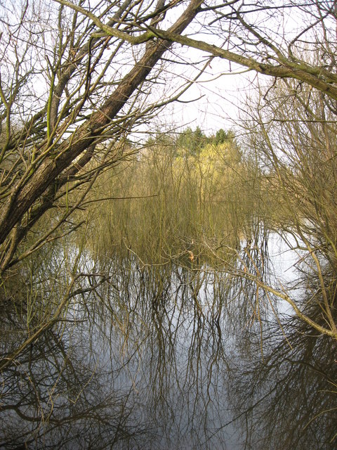
Pond at bottom of valley.
Pond attached to Holme Farm Estate that was approached cycling/walking down a rather damp bridleway.
 Map © Crown Copyright")
TIP: Click the map for more Large scale mapping
- Grid Square
- TQ2127, 21 images (more nearby 🔍)
- Photographer
- Nick Warner (more nearby)
- Date Taken
- Sunday, 15 March, 2009 (more nearby)
- Submitted
- Monday, 16 March, 2009
- Subject Location
-
OSGB36:
 TQ 211 279 [100m precision]
WGS84: 51:2.2830N 0:16.3799W - Camera Location
-
OSGB36: TQ 211 278
- View Direction
- NORTH (about 0 degrees)