2006
SU2269 : Durnsford Mill Farm from the top of Stitchcombe Hill
taken 18 years ago, near to Mildenhall, Wiltshire, England
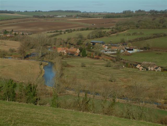
Durnsford Mill Farm from the top of Stitchcombe Hill
 Map © Crown Copyright")
TIP: Click the map for more Large scale mapping
- Grid Square
- SU2269, 30 images (more nearby 🔍)
- Photographer
- Colin Bates (more nearby)
- Date Taken
- Wednesday, 8 February, 2006 (more nearby)
- Submitted
- Sunday, 12 February, 2006
- Subject Location
-
OSGB36:
 SU 221 696 [100m precision]
WGS84: 51:25.4989N 1:41.0121W - Camera Location
-
OSGB36: SU 224 691