2009
NO5475 : Craigangower
taken 15 years ago, 4 km W of Auchmull, Angus, Scotland
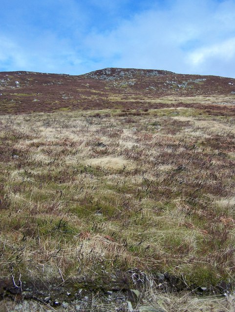
Craigangower
Looking up at Craigangower from the track near where a hut used to be.
 Map © Crown Copyright")
TIP: Click the map for more Large scale mapping
- Grid Square
- NO5475, 3 images (more nearby 🔍)
- Photographer
- Dominic Dawn Harry and Jacob Paterson (more nearby)
- Date Taken
- Friday, 27 March, 2009 (more nearby)
- Submitted
- Friday, 27 March, 2009
- Subject Location
-
OSGB36:
 NO 545 751 [100m precision]
WGS84: 56:51.9422N 2:44.8259W - Camera Location
-
OSGB36: NO 548 750
- View Direction
- West-northwest (about 292 degrees)