2009
SP0177 : River Rea From Tessall Lane Bridge
taken 15 years ago, near to Longbridge, Birmingham, England
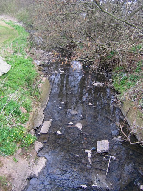
River Rea From Tessall Lane Bridge
The river has just emerged from the underground culvert taking it from by the old B.R. ticket office on Bristol Road South and under the Rover works.
 Map © Crown Copyright")
TIP: Click the map for more Large scale mapping
- Grid Square
- SP0177, 117 images (more nearby 🔍)
- Photographer
- Roy Hughes (more nearby)
- Date Taken
- Tuesday, 31 March, 2009 (more nearby)
- Submitted
- Wednesday, 1 April, 2009
- Subject Location
-
OSGB36:
 SP 014 777 [100m precision]
WGS84: 52:23.8821N 1:58.8069W - Camera Location
-
OSGB36: SP 014 777
- View Direction
- Northeast (about 45 degrees)