2009
SJ9867 : Cycle Trackway
taken 15 years ago, near to Burntcliff Top, Cheshire East, England
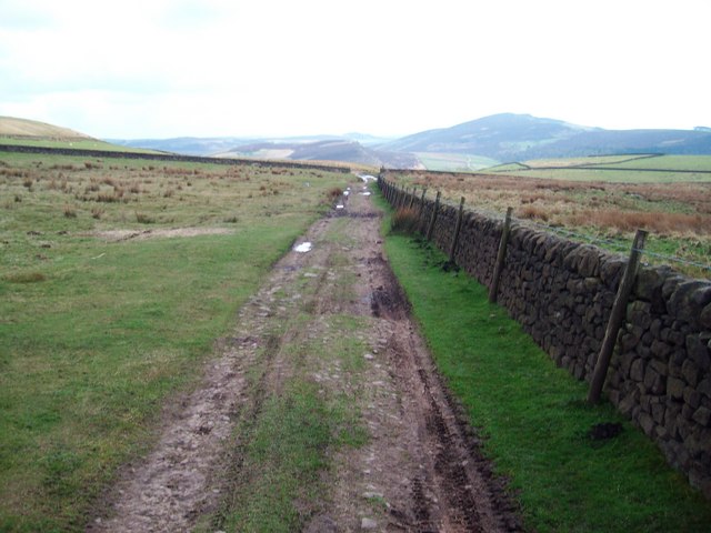
Cycle Trackway
Part of cycle route from A54 to minor road at Burntcliff Top, just to North of Gradbach Y.H.A.
 Map © Crown Copyright")
TIP: Click the map for more Large scale mapping
- Grid Square
- SJ9867, 12 images (more nearby 🔍)
- Photographer
- Anton Ciritis (more nearby)
- Date Taken
- Saturday, 11 April, 2009 (more nearby)
- Submitted
- Saturday, 11 April, 2009
- Subject Location
-
OSGB36:
 SJ 987 670 [100m precision]
WGS84: 53:12.0153N 2:1.2191W - Camera Location
-
OSGB36: SJ 986 671
- View Direction
- South-southeast (about 157 degrees)