J3573 : Ravenhill Road sign, Belfast (1)
taken 15 years ago, near to Belfast, Co Antrim, Northern Ireland
Note added 19 March 2012. Following representation made to this website I am now aware that publication of a photograph of a street name sign might be an offence under the Copyright, Designs and Patents Act 1988. I was not aware of this when submitting. This note is to confirm that I have now stopped taking photographs of street name signs. If you object to any already submitted please click Suggest an update to this image and make your views known to a moderator.
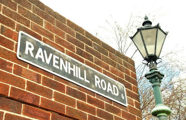
The present Belfast City Council inherited a wide variety of street-name signs from the old Belfast Corporation. They included cast and tiled signs from the Victorian and Edwardian era, pressed white-on-black and even some which had been hand-painted. The more recent styles are, in the main, similar to those elsewhere in Northern Ireland although there are still ones of local interest bilingual, incorporating housing association logos and decorative. One recent innovation has been the provision of modern signs in the style of the old tiled variety but incorporating the name of the Quarter used for tourist and marketing purposes.
![Creative Commons Licence [Some Rights Reserved]](https://s1.geograph.org.uk/img/somerights20.gif)
|
· Find out How to reuse this image ·
Share:
|
|||||
| Start a discussion on J3573 | Suggest an update to this image | Contact the contributor | |||
- Grid Square
- J3573, 320 images (more nearby
 )
)
- Photographer
- Albert Bridge (find more nearby)
- Date Taken
- Sunday, 12 April, 2009 (more nearby)
- Submitted
- Monday, 13 April, 2009
- Category
- Signs (more nearby)
- Subject Location
-
Irish:
 J 350 739 [100m precision]
WGS84: 54:35.7555N 5:54.6945W - Camera Location
-
Irish: J 350 739
- View Direction
- Northwest (about 315 degrees)