2009
TL1612 : Nomansland Common (South Section)
taken 15 years ago, near to Sandridge, Hertfordshire, England
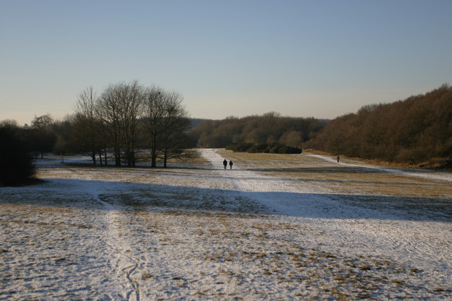
Nomansland Common (South Section)
View across Nomansland common on a winters afternoon.
 Map © Crown Copyright")
TIP: Click the map for more Large scale mapping
- Grid Square
- TL1612, 16 images (more nearby 🔍)
- Photographer
- Ian Grant (more nearby)
- Date Taken
- Tuesday, 6 January, 2009 (more nearby)
- Submitted
- Thursday, 16 April, 2009
- Subject Location
-
OSGB36:
 TL 165 122 [100m precision]
WGS84: 51:47.7955N 0:18.7138W - Camera Location
-
OSGB36: TL 168 122
- View Direction
- WEST (about 270 degrees)