M4137 : Knockdoebeg
taken 15 years ago, near to Knockdoemore, Co Galway, Ireland
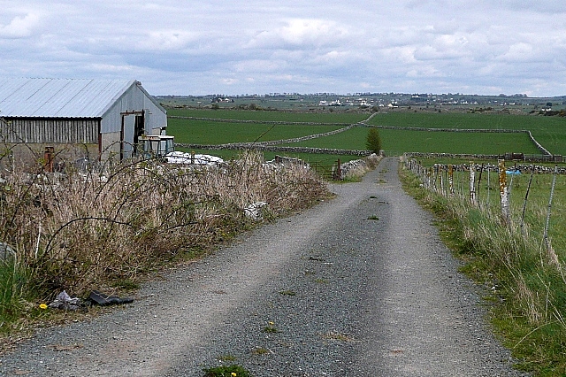
Knockdoebeg
View from a track just off the minor road towards the centre of this rather empty square. The River Clare runs in the valley surrounded by pasture.
![Creative Commons Licence [Some Rights Reserved]](https://s1.geograph.org.uk/img/somerights20.gif)
|
· Find out How to reuse this image ·
Share:
|
|||||
| Start a discussion on M4137 | Suggest an update to this image | Contact the contributor | |||
Loading map... (JavaScript required)
- Grid Square
- M4137 (more nearby
 )
)
- Photographer
- Graham Horn (find more nearby)
- Date Taken
- Wednesday, 1 April, 2009 (more nearby)
- Submitted
- Thursday, 16 April, 2009
- Category
- View > View (more nearby)
- Subject Location
-
Irish:
 M 410 370 [100m precision]
WGS84: 53:22.8340N 8:53.2037W - Camera Location
-
Irish: M 410 370
- View Direction
- North-northeast (about 22 degrees)
This page has been viewed about 35 times.
View this location:
KML (Google Earth) ·
Google Maps ·
Bing Maps ·
Geograph Coverage Map ·
More Links for this image
·
Bing Maps ·
Geograph Coverage Map ·
More Links for this image