2006
ST5342 : Harter's Hill
taken 18 years ago, near to Southway, Somerset, England
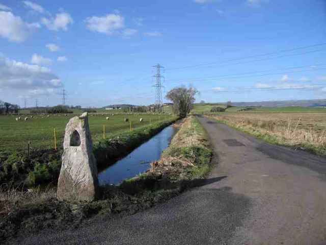
Harter's Hill
Harter's Hill is in the background beyond the power lines. The funny little thing in the foreground is some sort of milestone to Wells; it read VI 3-3/4 M.
 Map © Crown Copyright")
TIP: Click the map for more Large scale mapping
- Grid Square
- ST5342, 8 images (more nearby 🔍)
- Photographer
- Graham Richards (more nearby)
- Date Taken
- Saturday, 25 February, 2006 (more nearby)
- Submitted
- Saturday, 25 February, 2006
- Subject Location
-
OSGB36:
 ST 534 422 [100m precision]
WGS84: 51:10.6275N 2:40.0807W - Camera Location
-
OSGB36: ST 534 420