N5949 : Royal Canal east of D'Arcy's Bridge, Co. Westmeath
taken 15 years ago, 3 km from Killucan, Co Westmeath, Ireland
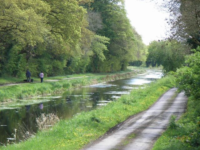
Royal Canal east of D'Arcy's Bridge, Co. Westmeath
One of the canal's more photogenic sections.
![Creative Commons Licence [Some Rights Reserved]](https://s1.geograph.org.uk/img/somerights20.gif)
|
· Find out How to reuse this image ·
Share:
|
|||||
| Start a discussion on N5949 | Suggest an update to this image | Contact the contributor | |||
Loading map... (JavaScript required)
- Grid Square
- N5949 (more nearby
 )
)
- Photographer
- JP (find more nearby)
- Date Taken
- Sunday, 3 May, 2009 (more nearby)
- Submitted
- Monday, 4 May, 2009
- Category
- Canal (more nearby)
- Subject Location
-
Irish:
 N 5936 4959 [10m precision]
WGS84: 53:29.5911N 7:6.3825W - Camera Location
-
Irish: N 5918 4972
- View Direction
- Southeast (about 135 degrees)
This page has been viewed about 272 times.
View this location:
KML (Google Earth) ·
Google Maps ·
Bing Maps ·
Geograph Coverage Map ·
More Links for this image
·
Bing Maps ·
Geograph Coverage Map ·
More Links for this image