2009
SH5449 : Pasture below Cwm-trwsgl
taken 15 years ago, 4 km WSW of Ffridd Uchaf, Gwynedd, Wales
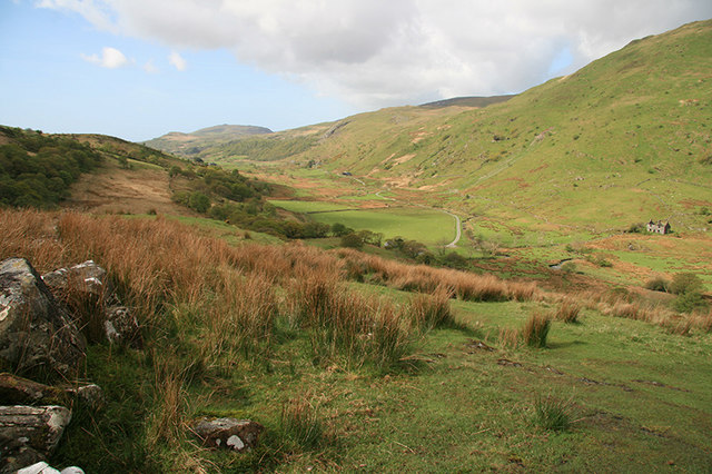
Pasture below Cwm-trwsgl
Unimproved pasture on the slopes below Cwm-trwsgl contrasts with the improved grazing in the valley bottom.
 Map © Crown Copyright")
TIP: Click the map for more Large scale mapping
- Grid Square
- SH5449, 68 images (more nearby 🔍)
- Photographer
- John Gibson (more nearby)
- Date Taken
- Saturday, 2 May, 2009 (more nearby)
- Submitted
- Monday, 4 May, 2009
- Subject Location
-
OSGB36:
 SH 543 493 [100m precision]
WGS84: 53:1.2824N 4:10.4192W - Camera Location
-
OSGB36: SH 543 493
- View Direction
- Southwest (about 225 degrees)