M0435 : An Clochar Mór (Cloghermore)
taken 15 years ago, 9 km ESE of Camus Oughter, Co Galway, Ireland
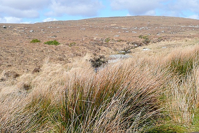
An Clochar Mór (Cloghermore)
The road between Rós an Mhíl (Rossaveel) and Uachtar Ard (Oughterard) just clips the south-east corner of this square. This is blanket bog, rising to the summit of An Clochar Mór (Cloghermore) in the next square north.
![Creative Commons Licence [Some Rights Reserved]](https://s1.geograph.org.uk/img/somerights20.gif)
|
· Find out How to reuse this image ·
Share:
|
|||||
| Start a discussion on M0435 | Suggest an update to this image | Contact the contributor | |||
Loading map... (JavaScript required)
- Grid Square
- M0435 (more nearby
 )
)
- Photographer
- Graham Horn (find more nearby)
- Date Taken
- Wednesday, 8 April, 2009 (more nearby)
- Submitted
- Thursday, 7 May, 2009
- Category
- Blanket bog (more nearby)
- Subject Location
-
Irish:
 M 048 350 [100m precision]
WGS84: 53:21.4563N 9:25.7526W - Camera Location
-
Irish: M 049 350
- View Direction
- Northwest (about 315 degrees)
This page has been viewed about 42 times.
View this location:
KML (Google Earth) ·
Google Maps ·
Bing Maps ·
Geograph Coverage Map ·
More Links for this image
·
Bing Maps ·
Geograph Coverage Map ·
More Links for this image