D0333 : Chatham Mill development
taken 15 years ago, near to The Dry Arch, Co Antrim, Northern Ireland
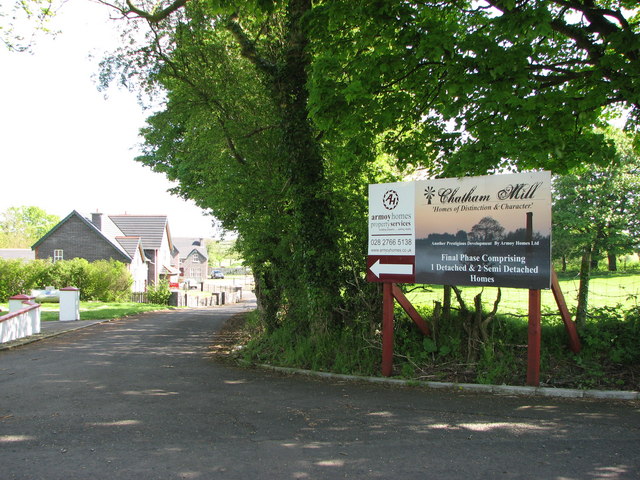
Chatham Mill development
The entrance and sign leading into a new housing development at Chatham Mill.
![Creative Commons Licence [Some Rights Reserved]](https://s1.geograph.org.uk/img/somerights20.gif)
|
· Find out How to reuse this image ·
Share:
|
|||||
|
There is 1 post in a
discussion on D0333 (preview on the left) |
Suggest an update to this image | Contact the contributor | |||
Loading map... (JavaScript required)
- Grid Square
- D0333, 44 images (more nearby
 )
)
- Photographer
- Willie Duffin (find more nearby)
- Date Taken
- Monday, 11 May, 2009 (more nearby)
- Submitted
- Tuesday, 12 May, 2009
- Category
- Road > Access road (more nearby)
- Subject Location
-
Irish:
 D 035 337 [100m precision]
WGS84: 55:8.4178N 6:22.5980W - Camera Location
-
Irish: D 035 336
- View Direction
- NORTH (about 0 degrees)
Image classification(about):
Geograph
This page has been viewed about 24 times.
View this location:
KML (Google Earth) ·
Google Maps ·
Bing Maps ·
Geograph Coverage Map ·
More Links for this image
·
Bing Maps ·
Geograph Coverage Map ·
More Links for this image