N2692 : Marshy land near Comadrung
taken 15 years ago, 4 km NNE of Aghnacliff, Co Longford, Ireland
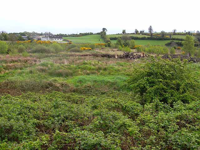
Marshy land near Comadrung
This area drains into Loch Gowna which is just behind the drumlin on the skyline.
![Creative Commons Licence [Some Rights Reserved]](https://s1.geograph.org.uk/img/somerights20.gif)
|
· Find out How to reuse this image ·
Share:
|
|||||
| Start a discussion on N2692 | Suggest an update to this image | Contact the contributor | |||
Loading map... (JavaScript required)
- Grid Square
- N2692 (more nearby
 )
)
- Photographer
- Oliver Dixon (find more nearby)
- Date Taken
- Monday, 4 May, 2009 (more nearby)
- Submitted
- Thursday, 14 May, 2009
- Category
- Marshland (more nearby)
- Subject Location
-
Irish:
 N 268 926 [100m precision]
WGS84: 53:52.9570N 7:35.5472W - Camera Location
-
Irish: N 267 926
- View Direction
- East-southeast (about 112 degrees)
This page has been viewed about 44 times.
View this location:
KML (Google Earth) ·
Google Maps ·
Bing Maps ·
Geograph Coverage Map ·
More Links for this image
·
Bing Maps ·
Geograph Coverage Map ·
More Links for this image