V7296 : Farm track near Tullig
taken 15 years ago, 3 km from Cromane, Co Kerry, Ireland
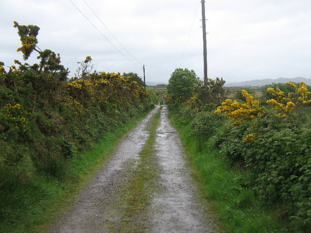
Farm track near Tullig
![Creative Commons Licence [Some Rights Reserved]](https://s1.geograph.org.uk/img/somerights20.gif)
|
· Find out How to reuse this image ·
Share:
|
|||||
| Start a discussion on V7296 | Suggest an update to this image | Contact the contributor | |||
Loading map... (JavaScript required)
- Grid Square
- V7296 (more nearby
 )
)
- Photographer
- David Medcalf (find more nearby)
- Date Taken
- Thursday, 14 May, 2009 (more nearby)
- Submitted
- Friday, 22 May, 2009
- Category
- Farm road (more nearby)
- Subject Location
-
Irish:
 V 728 965 [100m precision]
WGS84: 52:6.3929N 9:51.3926W - Camera Location
-
Irish: V 728 966
- View Direction
- SOUTH (about 180 degrees)
This page has been viewed about 36 times.
View this location:
KML (Google Earth) ·
Google Maps ·
Bing Maps ·
Geograph Coverage Map ·
More Links for this image
·
Bing Maps ·
Geograph Coverage Map ·
More Links for this image