2006
SE3208 : Pasture land north of Gawber
taken 18 years ago, near to Staincross, Barnsley, England
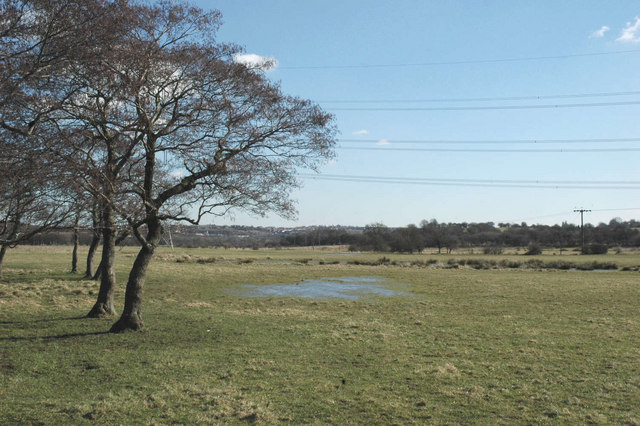
Pasture land north of Gawber
Even on the 1940s OS map the canal that once crossed this area is described as 'disused'. What remains now is an extensive area of grassland and sheep-grazed rush-pasture, with areas of open water - a haven for birds, mammals and invertebrates.
 Map © Crown Copyright")
TIP: Click the map for more Large scale mapping
- Grid Square
- SE3208, 26 images (more nearby 🔍)
- Photographer
- Chris Yeates (more nearby)
- Date Taken
- Friday, 3 March, 2006 (more nearby)
- Submitted
- Friday, 3 March, 2006
- Subject Location
-
OSGB36:
 SE 328 087 [100m precision]
WGS84: 53:34.4329N 1:30.3687W - Camera Location
-
OSGB36: SE 327 087