M5507 : Road junction in the forest - Boleyneendorrish Townland
taken 15 years ago, 5 km E of Peterswell, Co Galway, Ireland
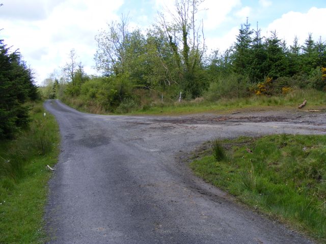
Road junction in the forest - Boleyneendorrish Townland
The road on the right is classed as 'other roads' by OSI but to my eyes it was no different to the 3rd class road that it joins.
![Creative Commons Licence [Some Rights Reserved]](https://s1.geograph.org.uk/img/somerights20.gif)
|
· Find out How to reuse this image ·
Share:
|
|||||
| Start a discussion on M5507 | Suggest an update to this image | Contact the contributor | |||
Loading map... (JavaScript required)
- Grid Square
- M5507 (more nearby
 )
)
- Photographer
- Mac McCarron (find more nearby)
- Date Taken
- Thursday, 21 May, 2009 (more nearby)
- Submitted
- Monday, 25 May, 2009
- Category
- Road > Minor road (more nearby)
- Subject Location
-
Irish:
 M 554 071 [100m precision]
WGS84: 53:6.7733N 8:40.0059W - Camera Location
-
Irish: M 554 071
- View Direction
- West-northwest (about 292 degrees)
This page has been viewed about 34 times.
View this location:
KML (Google Earth) ·
Google Maps ·
Bing Maps ·
Geograph Coverage Map ·
More Links for this image
·
Bing Maps ·
Geograph Coverage Map ·
More Links for this image