2009
NC9009 : Towards Badenahauglish
taken 15 years ago, 3 km from Achrimsdale, Highland, Scotland
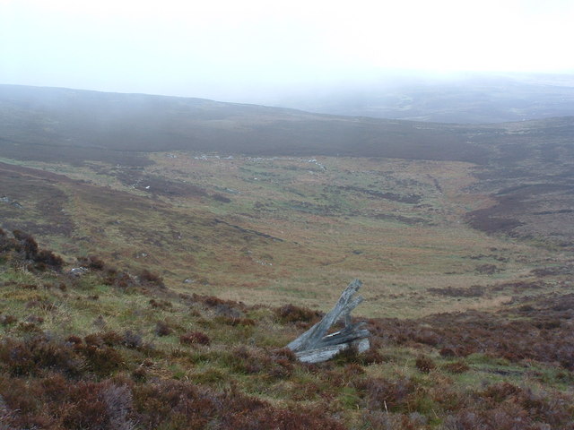
Towards Badenahauglish
In the foreground, remains possibly of a grouse butt. In the background, the outline of a large ruined building, marked as Badenahauglish. I tried a web search against the name and got two Geograph entries for this square as the only response!
 Map © Crown Copyright")
TIP: Click the map for more Large scale mapping
- Grid Square
- NC9009, 6 images (more nearby 🔍)
- Photographer
- Alan Stewart (more nearby)
- Date Taken
- Monday, 25 May, 2009 (more nearby)
- Submitted
- Wednesday, 3 June, 2009
- Subject Location
-
OSGB36:
 NC 903 098 [100m precision]
WGS84: 58:3.8314N 3:51.5972W - Camera Location
-
OSGB36: NC 903 097
- View Direction
- North-northeast (about 22 degrees)