2009
NC9110 : Line of the Badenahauglish burn
taken 15 years ago, 3 km from Lothbeg, Highland, Scotland
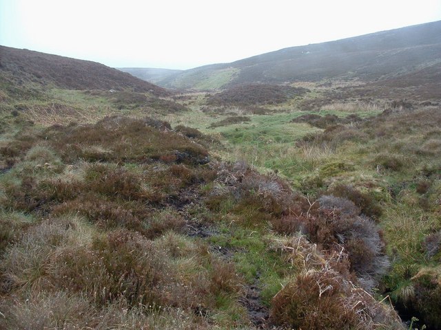
Line of the Badenahauglish burn
After dropping 100 metres or so the mist is above me now.
 Map © Crown Copyright")
TIP: Click the map for more Large scale mapping
- Grid Square
- NC9110 (more nearby 🔍)
- Photographer
- Alan Stewart (more nearby)
- Date Taken
- Monday, 25 May, 2009 (more nearby)
- Submitted
- Wednesday, 3 June, 2009
- Subject Location
-
OSGB36:
 NC 913 101 [100m precision]
WGS84: 58:4.0451N 3:50.6115W - Camera Location
-
OSGB36: NC 913 100
- View Direction
- North-northeast (about 22 degrees)