1999
TM0067 : Rookery Farm, Great Ashfield
taken 24 years ago, near to Long Thurlow, Suffolk, England
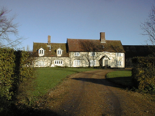
Rookery Farm, Great Ashfield
Rookery Farm is noted on the 1940 Ordnance Survey Map
 Map © Crown Copyright")
TIP: Click the map for more Large scale mapping
- Grid Square
- TM0067, 4 images (more nearby 🔍)
- Photographer
- Geoff Wadsworth (more nearby)
- Date Taken
- November 1999 (more nearby)
- Submitted
- Sunday, 29 May, 2005
- Subject Location
-
OSGB36:
 TM 00 67 [1000m precision]
WGS84: 52:16.1453N 0:56.2232E