2009
NM7848 : Top of the pass
taken 15 years ago, near to Caol Lochan [water Feature], Highland, Great Britain
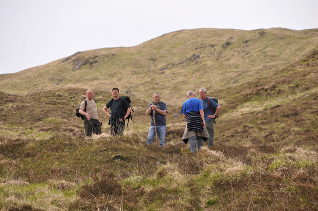
Top of the pass
Caol Bheinn in the background as the path drops away from Glensanda to Ternait.
 Map © Crown Copyright")
TIP: Click the map for more Large scale mapping
- Grid Square
- NM7848, 2 images (more nearby 🔍)
- Photographer
- John Naisbitt (more nearby)
- Date Taken
- Sunday, 17 May, 2009 (more nearby)
- Submitted
- Sunday, 7 June, 2009
- Subject Location
-
OSGB36:
 NM 787 482 [100m precision]
WGS84: 56:34.4479N 5:36.2395W - Camera Location
-
OSGB36: NM 789 482
- View Direction
- West-northwest (about 292 degrees)