2006
NR9267 : Low Stillaig
taken 18 years ago, near to Portavadie, Argyll And Bute, Scotland
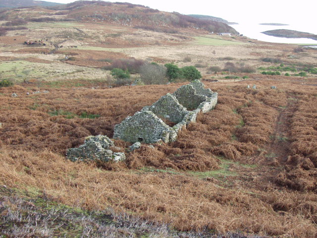
Low Stillaig
The second ruin that straddles this and the next square can be seen amongst the trees to the left
 Map © Crown Copyright")
TIP: Click the map for more Large scale mapping
- Grid Square
- NR9267, 2 images (more nearby 🔍)
- Photographer
- Jason Hemmings (more nearby)
- Date Taken
- Tuesday, 3 January, 2006 (more nearby)
- Submitted
- Thursday, 16 March, 2006
- Subject Location
-
OSGB36:
 NR 929 678 [100m precision]
WGS84: 55:51.5263N 5:18.6434W