2009
TM1936 : Bridleway to Bylam Farm
taken 15 years ago, near to Chelmondiston, Suffolk, England
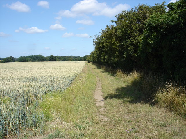
Bridleway to Bylam Farm
 Map © Crown Copyright")
TIP: Click the map for more Large scale mapping
- Grid Square
- TM1936, 31 images (more nearby 🔍)
- Photographer
- Oxymoron (more nearby)
- Date Taken
- Saturday, 4 July, 2009 (more nearby)
- Submitted
- Saturday, 4 July, 2009
- Subject Location
-
OSGB36:
 TM 198 364 [100m precision]
WGS84: 51:58.9743N 1:11.9815E - Camera Location
-
OSGB36: TM 199 363
- View Direction
- West-northwest (about 292 degrees)