2009
NH1146 : Left branch of the Allt an Fhuar-thuill Bhig
taken 15 years ago, near to An Crom-Allt [water Feature], Highland, Great Britain
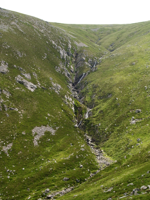
Left branch of the Allt an Fhuar-thuill Bhig
 Map © Crown Copyright")
TIP: Click the map for more Large scale mapping
- Grid Square
- NH1146, 5 images (more nearby 🔍)
- Photographer
- Chris Eilbeck (more nearby)
- Date Taken
- Saturday, 4 July, 2009 (more nearby)
- Submitted
- Monday, 6 July, 2009
- Subject Location
-
OSGB36:
 NH 117 460 [100m precision]
WGS84: 57:27.9265N 5:8.4426W - Camera Location
-
OSGB36: NH 114 461
- View Direction
- East-southeast (about 112 degrees)