H4472 : Link Road, Omagh
taken 15 years ago, near to Omagh, Co Tyrone, Northern Ireland
This is 1 of 2 images, with title Link Road, Omagh in this square
Link Road, Omagh
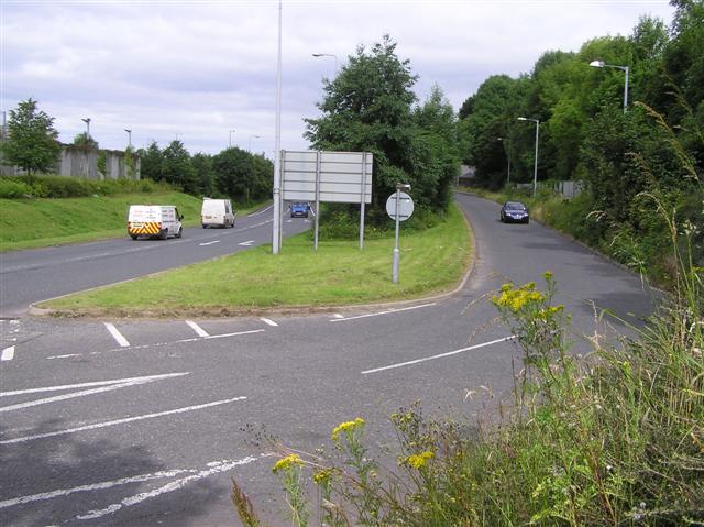
Pictured is where the Brookmount Road Joins the Great North Road beside the Homebase Store
![Creative Commons Licence [Some Rights Reserved]](https://s1.geograph.org.uk/img/somerights20.gif)
|
· Find out How to reuse this image ·
Share:
|
|||||
|
There are 15 posts in a
discussion on H4472 (preview on the left) |
Suggest an update to this image | Contact the contributor | |||
Loading map... (JavaScript required)
- Grid Square
- H4472, 2533 images (more nearby
 )
)
- Photographer
- Kenneth Allen (find more nearby)
- Date Taken
- Friday, 10 July, 2009 (more nearby)
- Submitted
- Saturday, 11 July, 2009
- Category
- Road Junction > Road junction (more nearby)
- Subject Location
-
Irish:
 H 444 727 [100m precision]
WGS84: 54:36.0351N 7:18.7514W - Camera Location
-
Irish: H 445 726
- View Direction
- North-northwest (about 337 degrees)
Image classification(about):
Geograph
This page has been viewed about 38 times.
View this location:
KML (Google Earth) ·
Google Maps ·
Bing Maps ·
Geograph Coverage Map ·
More Links for this image
·
Bing Maps ·
Geograph Coverage Map ·
More Links for this image