V8783 : Flying
taken 21 years ago, 9 km S of Beaufort, Co Kerry, Ireland
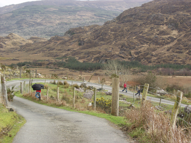
Flying
One of a number of hairpins on the south of The Gap of Dunloe. Luckily no crash landing this time!
![Creative Commons Licence [Some Rights Reserved]](https://s1.geograph.org.uk/img/somerights20.gif)
|
· Find out How to reuse this image ·
Share:
|
|||||
| Start a discussion on V8783 | Suggest an update to this image | Contact the contributor | |||
Loading map... (JavaScript required)
- Grid Square
- V8783, 22 images (more nearby
 )
)
- Photographer
- Jason Hemmings (find more nearby)
- Date Taken
- Wednesday, 26 February, 2003 (more nearby)
- Submitted
- Tuesday, 21 March, 2006
- Category
- Road > Road (more nearby)
- Subject Location
-
Irish:
 V 872 835 [100m precision]
WGS84: 51:59.5564N 9:38.5739W - Camera Location
-
Irish: V 872 835
- View Direction
- Southeast (about 135 degrees)
Image classification(about):
Geograph
This page has been viewed about 163 times.
View this location:
KML (Google Earth) ·
Google Maps ·
Bing Maps ·
Geograph Coverage Map ·
More Links for this image
·
Bing Maps ·
Geograph Coverage Map ·
More Links for this image