2009
SZ4384 : Brighstone Down trig
taken 15 years ago, near to Moortown, Isle of Wight, England
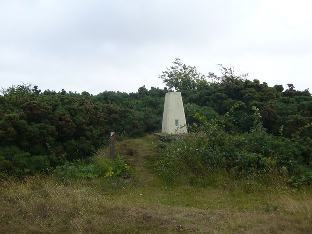
Brighstone Down trig
 Map © Crown Copyright")
TIP: Click the map for more Large scale mapping
- Grid Square
- SZ4384, 25 images (more nearby 🔍)
- Photographer
- Iain Macaulay (more nearby)
- Date Taken
- Wednesday, 15 July, 2009 (more nearby)
- Submitted
- Friday, 17 July, 2009
- Subject Location
-
OSGB36:
 SZ 4324 8472 [10m precision]
WGS84: 50:39.6334N 1:23.3766W - Camera Location
-
OSGB36: SZ 4324 8472
- View Direction
- Northeast (about 45 degrees)