N3653 : The Royal Canal at Shanonagh, Co. Westmeath
taken 15 years ago, 3 km from Slanemore, Co Westmeath, Ireland
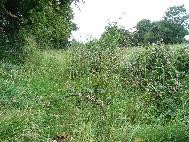
The Royal Canal at Shanonagh, Co. Westmeath
This terrible section features plenty of the towpath cyclist's worst nightmare - brambles.
![Creative Commons Licence [Some Rights Reserved]](https://s1.geograph.org.uk/img/somerights20.gif)
|
· Find out How to reuse this image ·
Share:
|
|||||
| Start a discussion on N3653 | Suggest an update to this image | Contact the contributor | |||
Loading map... (JavaScript required)
- Grid Square
- N3653 (more nearby
 )
)
- Photographer
- JP (find more nearby)
- Date Taken
- Saturday, 18 July, 2009 (more nearby)
- Submitted
- Sunday, 19 July, 2009
- Category
- Canal towpath (more nearby)
- Subject Location
-
Irish:
 N 3643 5321 [10m precision]
WGS84: 53:31.6675N 7:27.0848W - Camera Location
-
Irish: N 3650 5319
- View Direction
- West-northwest (about 292 degrees)
This page has been viewed about 55 times.
View this location:
KML (Google Earth) ·
Google Maps ·
Bing Maps ·
Geograph Coverage Map ·
More Links for this image
·
Bing Maps ·
Geograph Coverage Map ·
More Links for this image