G8345 : R280 at Glebe
taken 15 years ago, 3 km from Mullies, Co Leitrim, Ireland
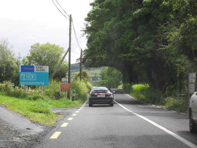
R280 at Glebe
The Bundoran to Manorhamilton Road at Glebe townland.
![Creative Commons Licence [Some Rights Reserved]](https://s1.geograph.org.uk/img/somerights20.gif)
|
· Find out How to reuse this image ·
Share:
|
|||||
| Start a discussion on G8345 | Suggest an update to this image | Contact the contributor | |||
Loading map... (JavaScript required)
- Grid Square
- G8345, 6 images (more nearby
 )
)
- Photographer
- Dean Molyneaux (find more nearby)
- Date Taken
- Wednesday, 22 July, 2009 (more nearby)
- Submitted
- Wednesday, 22 July, 2009
- Category
- Road > Road (more nearby)
- Subject Location
-
Irish:
 G 835 455 [100m precision]
WGS84: 54:21.4951N 8:15.2271W - Camera Location
-
Irish: G 835 456
- View Direction
- South-southwest (about 202 degrees)
This page has been viewed about 39 times.
View this location:
KML (Google Earth) ·
Google Maps ·
Bing Maps ·
Geograph Coverage Map ·
More Links for this image
·
Bing Maps ·
Geograph Coverage Map ·
More Links for this image