2009
SE1422 : Bramston Street (A643), Rastrick
taken 15 years ago, near to Rastrick, Calderdale, England
This is 1 of 3 images, with title Bramston Street (A643), Rastrick in this square
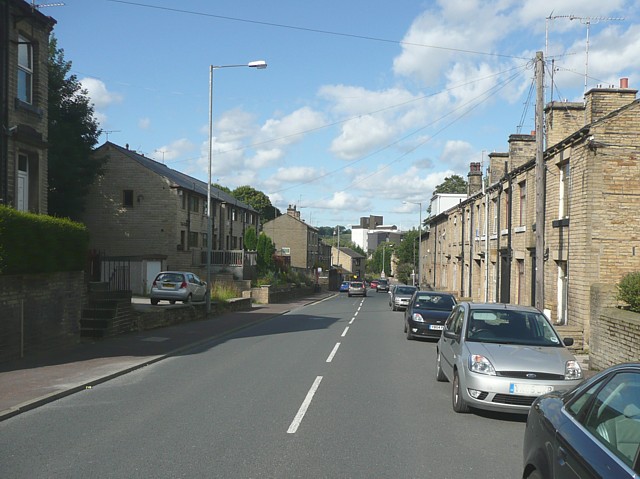
Bramston Street (A643), Rastrick
This road was made in the late 19C. It was as a wider, better graded route than Thornhill Road, which was originally a private road belonging to the Thornhill estate. In the mid-20C Bramston Street was 'promoted' to A road status, replacing Rastrick Common / Bridge End. From old maps it seems that the modern houses on the left were built on a vacant hillside, and did not replace old slum houses.
 Map © Crown Copyright")
TIP: Click the map for more Large scale mapping
- Grid Square
- SE1422, 1144 images (more nearby 🔍)
- Photographer
- Humphrey Bolton (more nearby)
- Date Taken
- Thursday, 30 July, 2009 (more nearby)
- Submitted
- Friday, 31 July, 2009
- Subject Location
-
OSGB36:
 SE 142 223 [100m precision]
WGS84: 53:41.8170N 1:47.1847W - Camera Location
-
OSGB36: SE 142 223
- View Direction
- Northeast (about 45 degrees)