2009
SE8059 : The long and winding path to Open Dale
taken 15 years ago, near to Kirby Underdale, East Riding of Yorkshire, England
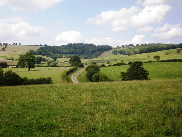
The long and winding path to Open Dale
The public footpath winds its way towards Wood Leys and Open Dale beyond.
 Map © Crown Copyright")
TIP: Click the map for more Large scale mapping
- Grid Square
- SE8059, 49 images (more nearby 🔍)
- Photographer
- Dr Patty McAlpin (more nearby)
- Date Taken
- Sunday, 9 August, 2009 (more nearby)
- Submitted
- Wednesday, 12 August, 2009
- Subject Location
-
OSGB36:
 SE 807 597 [100m precision]
WGS84: 54:1.6411N 0:46.1736W - Camera Location
-
OSGB36: SE 808 592
- View Direction
- North-northwest (about 337 degrees)