2009
ST6278 : Farm Track to west of Maules Lane
taken 15 years ago, near to Frenchay, South Gloucestershire, England
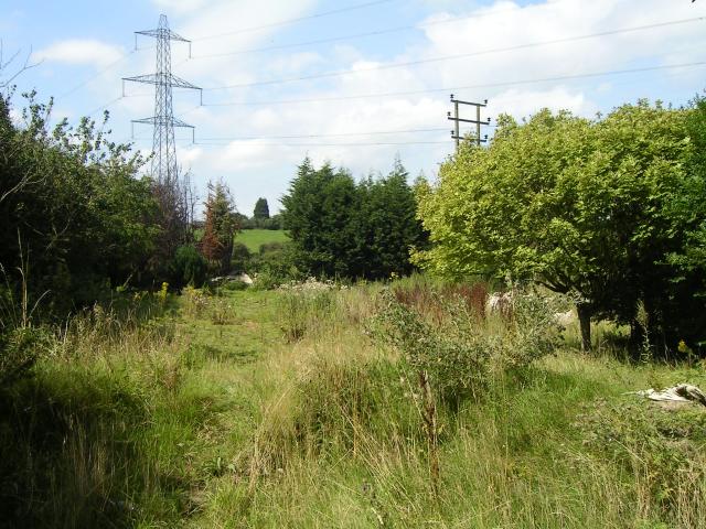
Farm Track to west of Maules Lane
Overgrown farm track to the west of the end of Maules Lane
 Map © Crown Copyright")
TIP: Click the map for more Large scale mapping
- Grid Square
- ST6278, 49 images (more nearby 🔍)
- Photographer
- Brett Norris (more nearby)
- Date Taken
- Thursday, 13 August, 2009 (more nearby)
- Submitted
- Thursday, 13 August, 2009
- Subject Location
-
OSGB36:
 ST 625 788 [100m precision]
WGS84: 51:30.4453N 2:32.4509W - Camera Location
-
OSGB36: ST 626 788
- View Direction
- West-northwest (about 292 degrees)