2009
NH5860 : Mudflats west of the Cromarty Bridge
taken 15 years ago, near to Urquhart, Highland, Scotland
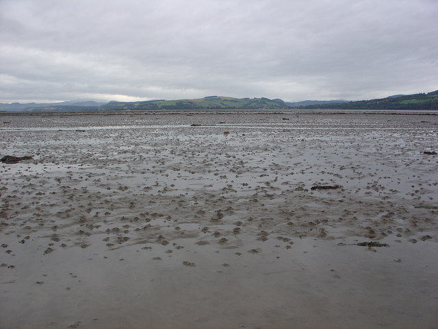
Mudflats west of the Cromarty Bridge
Looking west across mudflats towards Dingwall. The photograph was taken 20 minutes before maximum Low Water.
 Map © Crown Copyright")
TIP: Click the map for more Large scale mapping
- Grid Square
- NH5860, 3 images (more nearby 🔍)
- Photographer
- Alasdair MacDonald (more nearby)
- Date Taken
- Tuesday, 18 August, 2009 (more nearby)
- Submitted
- Tuesday, 18 August, 2009
- Subject Location
-
OSGB36:
 NH 583 601 [100m precision]
WGS84: 57:36.5579N 4:22.3615W - Camera Location
-
OSGB36: NH 589 600
- View Direction
- WEST (about 270 degrees)