2009
NX7955 : Taliesin new pond with Screel hill in the background
taken 15 years ago, 3 km from Palnackie, Dumfries And Galloway, Scotland
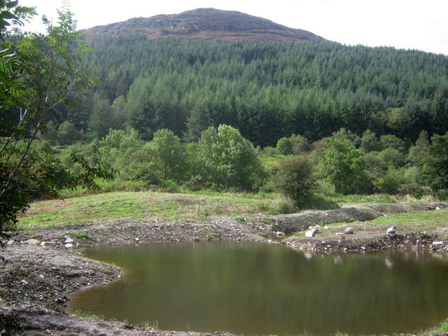
Taliesin new pond with Screel hill in the background
The creation of enhanced trout (and other) habitat involves diverting a small portion of our main burn's flow through a series of deepish pools and small ponds before allowing the flow to spread over a lower meadow on its way to rejoin the original course of the burn.
The plan:Link
More pictures:Link (Archive Link )
Video:Link
The plan:Link
More pictures:Link
Video:Link
 Map © Crown Copyright")
TIP: Click the map for more Large scale mapping
- Grid Square
- NX7955, 48 images (more nearby 🔍)
- Photographer
- Ed Iglehart (more nearby)
- Date Taken
- Tuesday, 1 September, 2009 (more nearby)
- Submitted
- Tuesday, 1 September, 2009
- Subject Location
-
OSGB36:
 NX 791 556 [100m precision]
WGS84: 54:52.8361N 3:53.0750W - Camera Location
-
OSGB36: NX 792 556
- View Direction
- Southwest (about 225 degrees)