J3730 : The western end of Causeway Road, Newcastle
taken 15 years ago, near to Newcastle, Co Down, Northern Ireland
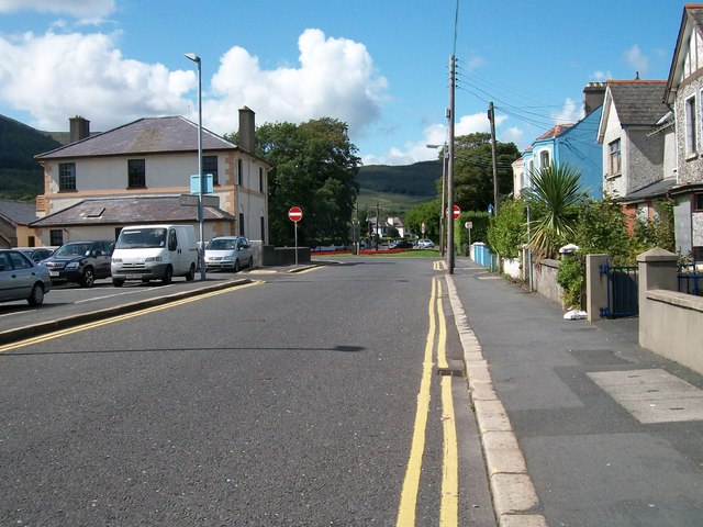
The western end of Causeway Road, Newcastle
This short road links (at least, on foot) the Central Promenade with Bryansford Road, Shimna Road and Tullybrannigan Road. No entry signs beyond the car park bar the motorist.
![Creative Commons Licence [Some Rights Reserved]](https://s1.geograph.org.uk/img/somerights20.gif)
|
· Find out How to reuse this image ·
Share:
|
|||||
| Start a discussion on J3730 | Suggest an update to this image | Contact the contributor | |||
Loading map... (JavaScript required)
- Grid Square
- J3730, 854 images (more nearby
 )
)
- Photographer
- Eric Jones (find more nearby)
- Date Taken
- Friday, 21 August, 2009 (more nearby)
- Submitted
- Wednesday, 2 September, 2009
- Category
- Street (more nearby)
- Subject Location
-
Irish:
 J 374 309 [100m precision]
WGS84: 54:12.5329N 5:53.6069W - Camera Location
-
Irish: J 376 309
- View Direction
- WEST (about 270 degrees)
Image classification(about):
Geograph
This page has been viewed about 36 times.
View this location:
KML (Google Earth) ·
Google Maps ·
Bing Maps ·
Geograph Coverage Map ·
More Links for this image
·
Bing Maps ·
Geograph Coverage Map ·
More Links for this image