S6603 : Rough grazing by Kilmacomb Cross Roads
taken 15 years ago, 4 km NW of Dunmore East, Co Waterford, Ireland
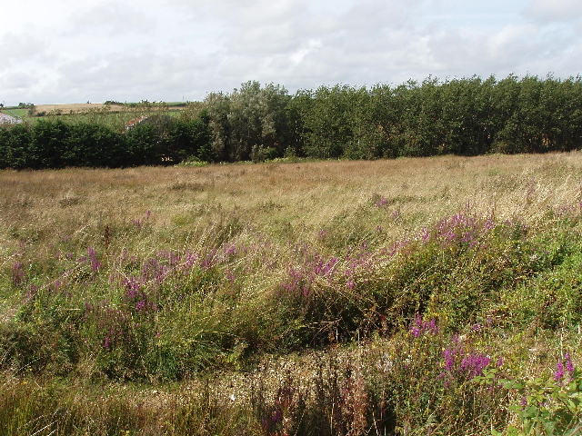
Rough grazing by Kilmacomb Cross Roads
A stream runs along the edge of the fields by the hedge, and the field looks quite wet.
![Creative Commons Licence [Some Rights Reserved]](https://s1.geograph.org.uk/img/somerights20.gif)
|
· Find out How to reuse this image ·
Share:
|
|||||
| Start a discussion on S6603 | Suggest an update to this image | Contact the contributor | |||
Loading map... (JavaScript required)
- Grid Square
- S6603 (more nearby
 )
)
- Photographer
- David Hawgood (find more nearby)
- Date Taken
- Saturday, 22 August, 2009 (more nearby)
- Submitted
- Monday, 7 September, 2009
- Category
- Rough grazing (more nearby)
- Subject Location
-
Irish:
 S 661 030 [100m precision]
WGS84: 52:10.5587N 7:2.0609W - Camera Location
-
Irish: S 661 030
- View Direction
- Northwest (about 315 degrees)
This page has been viewed about 61 times.
View this location:
KML (Google Earth) ·
Google Maps ·
Bing Maps ·
Geograph Coverage Map ·
More Links for this image
·
Bing Maps ·
Geograph Coverage Map ·
More Links for this image