2009
SD2365 : Roa Island
taken 15 years ago, near to Roa Island, Cumbria, England
This is 1 of 4 images, with title Roa Island in this square
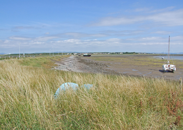
Roa Island
Roa Island is connected to the mainland to the north by a causeway seen at left of picture.
 Map © Crown Copyright")
TIP: Click the map for more Large scale mapping
- Grid Square
- SD2365, 70 images (more nearby 🔍)
- Photographer
- Dennis Turner (more nearby)
- Date Taken
- Saturday, 11 July, 2009 (more nearby)
- Submitted
- Monday, 7 September, 2009
- Subject Location
-
OSGB36:
 SD 232 652 [100m precision]
WGS84: 54:4.6300N 3:10.4348W - Camera Location
-
OSGB36: SD 232 650
- View Direction
- NORTH (about 0 degrees)