J3254 : Ballymurphy Townland
taken 15 years ago, 3 km from Annahilt, Co Down, Northern Ireland
Ballymurphy Townland
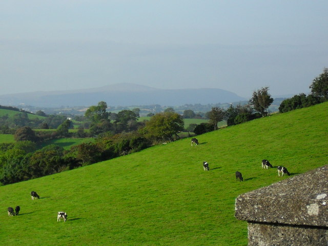
A beautiful view over the grazing Friesian herd in Ballymurphy Townland, near Annahilt, very much a part of drumlin country - towards the mountains in Belfast. Along the Cargygray Road.
![Creative Commons Licence [Some Rights Reserved]](https://s1.geograph.org.uk/img/somerights20.gif)
|
· Find out How to reuse this image ·
Share:
|
|||||
| Start a discussion on J3254 | Suggest an update to this image | Contact the contributor | |||
Loading map... (JavaScript required)
- Grid Square
- J3254, 4 images (more nearby
 )
)
- Photographer
- Dean Molyneaux (find more nearby)
- Date Taken
- Friday, 11 September, 2009 (more nearby)
- Submitted
- Saturday, 12 September, 2009
- Category
- Field (more nearby)
- Subject Location
-
Irish:
 J 320 541 [100m precision]
WGS84: 54:25.1475N 5:57.9525W - Camera Location
-
Irish: J 321 541
- View Direction
- Northwest (about 315 degrees)
This page has been viewed about 51 times.
View this location:
KML (Google Earth) ·
Google Maps ·
Bing Maps ·
Geograph Coverage Map ·
More Links for this image
·
Bing Maps ·
Geograph Coverage Map ·
More Links for this image