2009
NS5751 : Motte Hill
taken 15 years ago, near to Eaglesham, East Renfrewshire, Scotland
This is 1 of 3 images, with title Motte Hill in this square
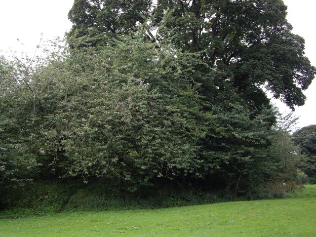
Motte Hill
The motte or Motte Hill is a flat-topped mound situated on the north-west bank of the Linn Burn (or Kirkton Burn as it used to be known) in the Orry. Today Motte Hill is covered in dense vegetation which somewhat hinders a closer view of it. Click on this link for more information about the history of the motte Link and for links to other motte sites associated with the Montgomeries.
 Map © Crown Copyright")
TIP: Click the map for more Large scale mapping
- Grid Square
- NS5751, 120 images (more nearby 🔍)
- Photographer
- Kenneth Mallard (more nearby)
- Date Taken
- Thursday, 20 August, 2009 (more nearby)
- Submitted
- Sunday, 13 September, 2009
- Subject Location
-
OSGB36:
 NS 571 519 [100m precision]
WGS84: 55:44.3603N 4:16.6602W - Camera Location
-
OSGB36: NS 571 519
- View Direction
- SOUTH (about 180 degrees)