2009
ND2592 : Bakingstone Hill
taken 15 years ago, 4 km NNW of Melsetter, Hoy, Orkney Islands, Scotland
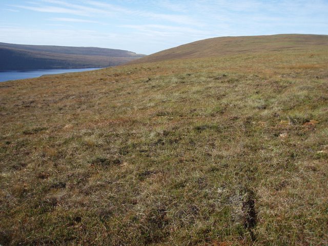
Bakingstone Hill
The rounded hill north of Heldale water seen to the left.
 Map © Crown Copyright")
TIP: Click the map for more Large scale mapping
- Grid Square
- ND2592 (more nearby 🔍)
- Photographer
- Roger McLachlan (more nearby)
- Date Taken
- Friday, 18 September, 2009 (more nearby)
- Submitted
- Monday, 21 September, 2009
- Subject Location
-
OSGB36:
 ND 253 927 [100m precision]
WGS84: 58:48.9617N 3:17.6306W - Camera Location
-
OSGB36: ND 259 929
- View Direction
- West-southwest (about 247 degrees)