J2170 : Stoneyford Village (2/3)
taken 15 years ago, 5 km S of Dundrod, Co Antrim, Northern Ireland
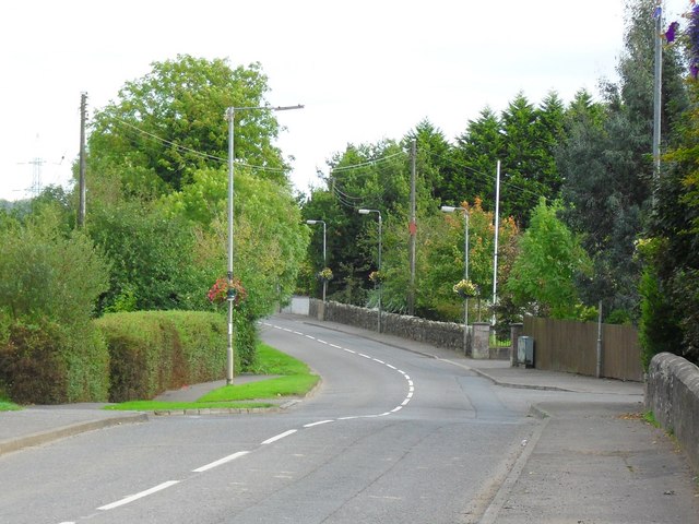
Stoneyford Village (2/3)
Looking towards the Stoneyford River bridge.
![Creative Commons Licence [Some Rights Reserved]](https://s1.geograph.org.uk/img/somerights20.gif)
|
· Find out How to reuse this image ·
Share:
|
|||||
| Start a discussion on J2170 | Suggest an update to this image | Contact the contributor | |||
Loading map... (JavaScript required)
- Grid Square
- J2170, 16 images (more nearby
 )
)
- Photographer
- Dean Molyneaux (find more nearby)
- Date Taken
- Friday, 25 September, 2009 (more nearby)
- Submitted
- Friday, 25 September, 2009
- Category
- Road > Road (more nearby)
- Subject Location
-
Irish:
 J 216 703 [100m precision]
WGS84: 54:34.0206N 6:7.2432W - Camera Location
-
Irish: J 215 704
- View Direction
- Southeast (about 135 degrees)
Image classification(about):
Geograph
This page has been viewed about 42 times.
View this location:
KML (Google Earth) ·
Google Maps ·
Bing Maps ·
Geograph Coverage Map ·
More Links for this image
·
Bing Maps ·
Geograph Coverage Map ·
More Links for this image