2009
TQ5739 : A264, Church Rd
taken 15 years ago, near to Royal Tunbridge Wells, Kent, England
This is 1 of 2 images, with title A264, Church Rd in this square
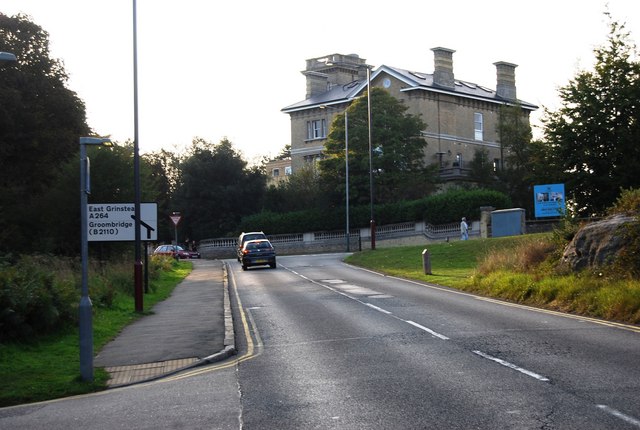
A264, Church Rd
The A264 is an east-west road that runs 28 miles from Pembury in West Kent TQ6140 : Roundabout where the A228 becomes the A264 to Five Oaks in West Sussex. Travels via Tunbridge Wells, East Grinstead, Crawley & Horsham.
Link
See other images of A264 Road
Link
See other images of A264 Road
 Map © Crown Copyright")
TIP: Click the map for more Large scale mapping
- Grid Square
- TQ5739, 845 images (more nearby 🔍)
- Photographer
- N Chadwick (more nearby)
- Date Taken
- Sunday, 27 September, 2009 (more nearby)
- Submitted
- Friday, 2 October, 2009
- Subject Location
-
OSGB36:
 TQ 579 394 [100m precision]
WGS84: 51:7.9261N 0:15.3556E - Camera Location
-
OSGB36: TQ 579 394
- View Direction
- West-southwest (about 247 degrees)