2006
NT3549 : Along The B709
taken 18 years ago, near to Dewar, Scottish Borders, Scotland
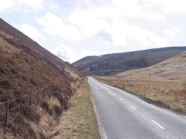
Along The B709
Up in the Moorfoots along the valley of the Dewar Burn looking towards Dewar Farm. A road which is often blocked in winter.
 Map © Crown Copyright")
TIP: Click the map for more Large scale mapping
- Grid Square
- NT3549, 13 images (more nearby 🔍)
- Photographer
- Colin Inverarity (more nearby)
- Date Taken
- Friday, 14 April, 2006 (more nearby)
- Submitted
- Saturday, 15 April, 2006
- Subject Location
-
OSGB36:
 NT 350 491 [100m precision]
WGS84: 55:43.8553N 3:2.1948W - Camera Location
-
OSGB36: NT 351 498
- View Direction
- SOUTH (about 180 degrees)