2005
SU5096 : Nags Head Island
taken 19 years ago, near to Abingdon-on-Thames, Oxfordshire, England
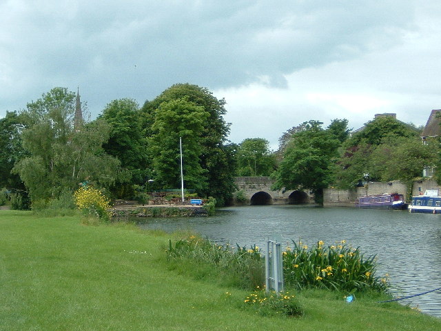
Nags Head Island
Taken from the Thames Path to the East of Abingdon Bridge, Nags Head Island is in the middle of the Thames, Abingdon Bridge crosses over the middle of Nags Head Island.
 Map © Crown Copyright")
TIP: Click the map for more Large scale mapping
- Grid Square
- SU5096, 63 images (more nearby 🔍)
- Photographer
- Claire Ward (more nearby)
- Date Taken
- Saturday, 4 June, 2005 (more nearby)
- Submitted
- Sunday, 5 June, 2005
- Subject Location
-
OSGB36:
 SU 501 969 [100m precision]
WGS84: 51:40.1190N 1:16.6181W