S7010 : The River Suir from the Passage East to Ballyhack ferry
taken 15 years ago, near to Passage East, Co Waterford, Ireland
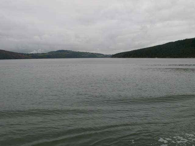
The River Suir from the Passage East to Ballyhack ferry
To the right is County Wexford and County Waterford to the left.
![Creative Commons Licence [Some Rights Reserved]](https://s1.geograph.org.uk/img/somerights20.gif)
|
· Find out How to reuse this image ·
Share:
|
|||||
| Start a discussion on S7010 | Suggest an update to this image | Contact the contributor | |||
Loading map... (JavaScript required)
- Grid Square
- S7010, 53 images (more nearby
 )
)
- Photographer
- Eirian Evans (find more nearby)
- Date Taken
- Tuesday, 13 October, 2009 (more nearby)
- Submitted
- Monday, 19 October, 2009
- Category
- River (more nearby)
- Subject Location
-
Irish:
 S 7028 1059 [10m precision]
WGS84: 52:14.5820N 6:58.3106W - Camera Location
-
Irish: S 7036 1051
- View Direction
- Northwest (about 315 degrees)
Image classification(about):
Geograph
This page has been viewed about 55 times.
View this location:
KML (Google Earth) ·
Google Maps ·
Bing Maps ·
Geograph Coverage Map ·
More Links for this image
·
Bing Maps ·
Geograph Coverage Map ·
More Links for this image