2008
SY6990 : Salisbury Street
taken 16 years ago, near to Dorchester, Dorset, England
This is 1 of 3 images, with title starting with Salisbury in this square
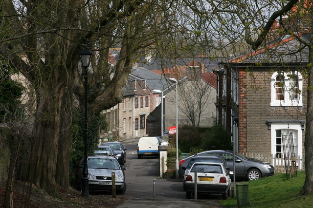
Salisbury Street
Looking down from Salisbury Field to Salisbury Street. The old Salvation Army Citadel (now disused) can be seen left of centre beyond the trees.
 Map © Crown Copyright")
TIP: Click the map for more Large scale mapping
- Grid Square
- SY6990, 1144 images (more nearby 🔍)
- Photographer
- DorsetBlogger (more nearby)
- Date Taken
- Saturday, 29 March, 2008 (more nearby)
- Submitted
- Monday, 26 October, 2009
- Subject Location
-
OSGB36:
 SY 695 906 [100m precision]
WGS84: 50:42.8860N 2:25.9427W - Camera Location
-
OSGB36: SY 695 906
- View Direction
- North-northwest (about 337 degrees)