2009
NT8622 : The Schil (1971 feet)
taken 15 years ago, 3 km from Sourhope, Scottish Borders, Scotland
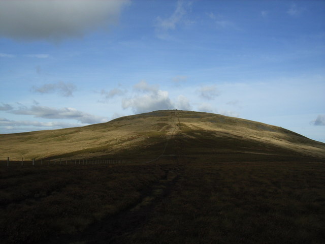
The Schil (1971 feet)
Taken on the Pennine Way.
 Map © Crown Copyright")
TIP: Click the map for more Large scale mapping
- Grid Square
- NT8622, 25 images (more nearby 🔍)
- Photographer
- Colin Hoskins (more nearby)
- Date Taken
- Thursday, 1 October, 2009 (more nearby)
- Submitted
- Thursday, 5 November, 2009
- Subject Location
-
OSGB36:
 NT 869 223 [100m precision]
WGS84: 55:29.6804N 2:12.4958W - Camera Location
-
OSGB36: NT 873 219
- View Direction
- Northwest (about 315 degrees)